 |
| “All things excellent are as difficult as they are rare.” — Ed Abbey, Desert Solitaire |
And indeed, this trip was a quite excellent. Didn't go quite according to plan, but excellent nevertheless... Another year, another trans-Sierra was scheduled... obviously. And lo and behold, the best date turned out to be when I'm going to be at a wedding... bummer... I probably can't go. But wait... the wedding is in the Sierras... maybe I could still squeeze it in somehow? And so the logistical nightmare began. 1) I had to find someone who was going to the wedding who would do the run with me. 2) I had to find some folks to ride with Kim and Kai to to the wedding so that Kim wouldn't be driving to the east side by herself with Kai. And 3) I had to figure out a route.
As soon as I found out Bernard was going to the wedding, I was set. I've already had experience convincing him to do idiotic things with me, and we had even completed a
trans-sierra together. That one was over snow, taking over a week... going west. This time we'd go east, in one day, in just our running attire.... to a wedding. The plan slowly came together and we hatched a plan for us to run across on Fri, while the other team would hike across a few days later on Sunday. We planned on starting at Lake Thomas Edison and ending up at the wedding at Convict Lake. Bernard, coming from Chicago... would stay in the bay area until the very last second so that he wouldn't experience any acclimatization advantage. We'd leave my house at 4 am... arrive at the trailhead around 9 am, and start hiking around 10 am. It's 26 miles, and I figured it'd take us around 8 hours. Turned out I was a bit off. Coming into Convict Lake at 9 pm, we had mainly hiked for 11 hours due to the trail being mostly unrunnable due to the amount of scree and bigger rocks on the trail.
But it was excellently fun.
 |
| 6 am gas stop... somewhere in the central valley... |
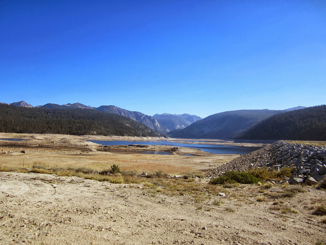 |
| Lake Thomas Edison... not much water... |
 |
| Ran into this cowboy on our way to the trailhead. Very helpful in giving us directions to the trailhead. |
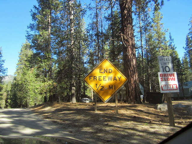 |
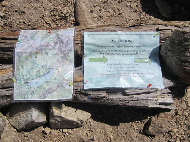
| By the time you see this sign, you've probably spent the last 90 min driving 15 mph on average down a one lane curvy road... |
 |
| After a quick breakfast, a bathroom break, and stashing food in the bear bins at the trailhead, we were off! |
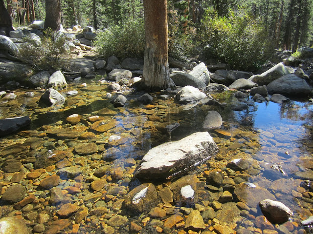 |
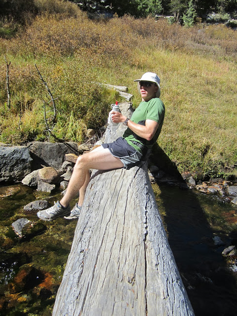
| Our first creek crossing has a fully grown tree in the middle.... wha? |
 |
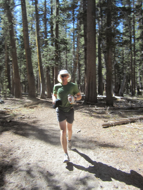
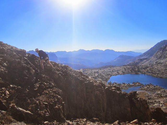
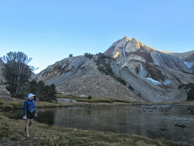
| Soon we were up in the moonscape. The trail started off quite runnable and we were making great time. |
 |
| After 10 miles, we were due for some more water... Aqua Mira time! |
 |
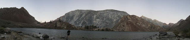
| Yeah... that lake was quite low. |
 |
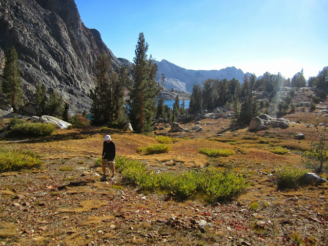
| Another short break before we started slogging our way X-country up to Gemini Pass |
 |
| Where did the trail go? |
 |
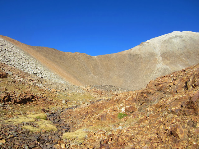
| Gemini Pass is just left of the middle in this pic. The middle peak is Red Slate Peak. |
 |
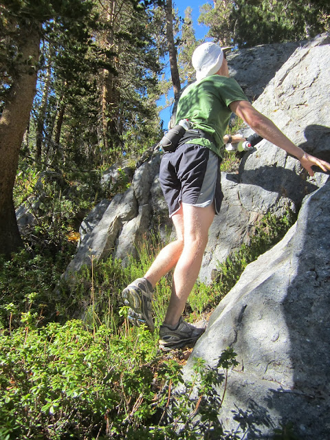
| Not runnable... |
 |
| But fun... |
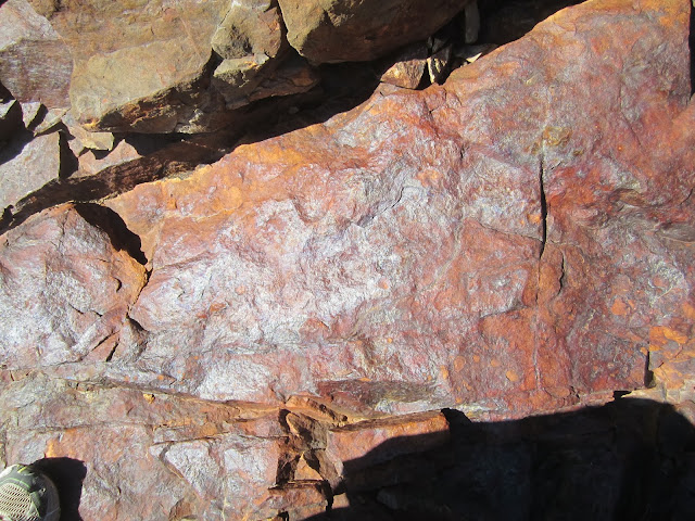 |
| funky rock. |
 |
| Getting closer to Gemini Pass |
 |
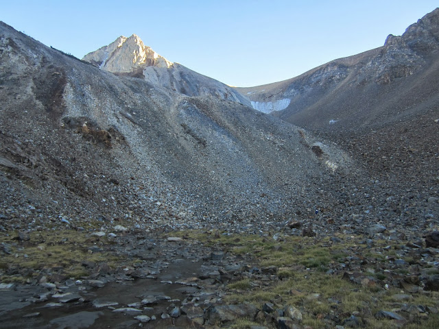
| At our high point... over 12k ft. Before being humbled by our pace, I had thought about scrambling up 1000 ft up to the top of Red Slate from here. A peak I haven't visited since 2006. |
 |
| And coming down the scree... this took a LOT longer than we expected. |
 |
| Yeah... not really runnable |
 |
| Looking back up at Gemini Pass |
 |
| B-nard admiring Red Slate Couloir... and the brave men that skied it! |
 |
| Our final water break... didn't really bother treating it at this point in the day. |
Soon... we were engulfed in darkness and I had my emergency headlamp along with the flashlight on my phone. There were several sections where the trail had been washed out, so this made the descent quite slow. Once we got to within sight of Convict Lake, the full moon started rising, along with our spirits. And we ran the last few miles right to a wedding reception.... which wasn't Josh & Liz's... then we found them, and started drinking. That was also quite excellent.
Here's the route I mapped out. And some beta for x-country hiking, running, and cycling enthusiasts... Get
OruxMaps app on your phone. And after you mapped out your route on ridewithgps.com, export the gpx file to your phone, then you can follow your route on your phone as you mapped it. Also, you can download the topo to your phone using OruxMaps while you still have service, then you can go into airplane mode and still see the map. And when you go on longer hikes... use an
USB battery extender pack.
If you want to read what crazy folks do... read this.
http://www.irunfar.com/2013/08/mike-wolfe-and-hal-koerners-john-muir-trail-support-fkt-report.html
And I'll leave you with some pics from the other party... who woke up at 4 am with 2 inches of snow on their tent, hiked up to Mono Pass, and turned around. Which left them with a 12 hour drive back to the bay via Thomas Edison lake...
 |
| Funk arriving at the wedding in proper attire. |
 |
| At mono pass... |


Nice hat Bernard!
ReplyDelete